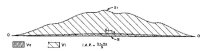
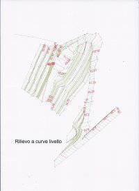
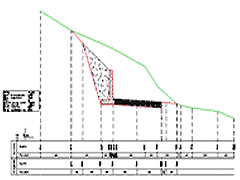
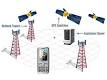
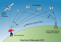
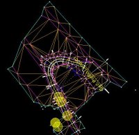
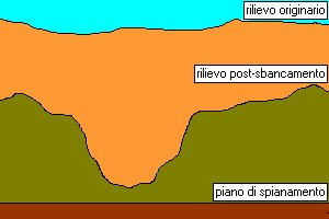
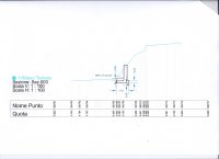
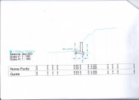
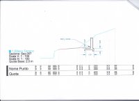
Topographic, altimetric relief maps of land or structures using TPS laser technology and/or GPS GNSS, including maps with ground contours, elevations and triangulations for calculating excavation or fill volume, 3D models of the terrain, cross-sections.
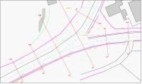
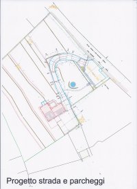
Relief maps of buildings, relief maps of building facades and structures also inaccessible structures, topographic relief maps for construction projects, roads, earth movement and manmade structures in general.